3D Map using Leaflet eego
It's always been fascinating working with Geographic Information Systems, mainly seeing the advacements from Google Maps, OpenstreetMaps and others. The challenge is to build solution to a problem geographically, which could ease the user who wants to find solution w.r.t to his/her Geocapture. The best example in this case would be Uber app, which shows the live information of car near you.
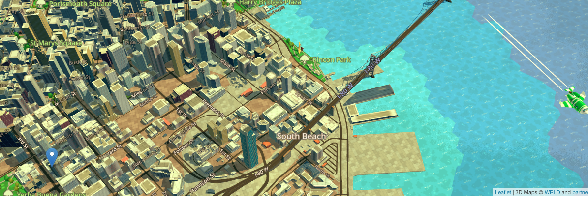
The eego maps are currently available for UK users and the map seems very realistic.
The 3D maps gives you more clarity in the information you percieve and the information you want to search or visualize
Explore a 3D map view here Have fun exploring!!